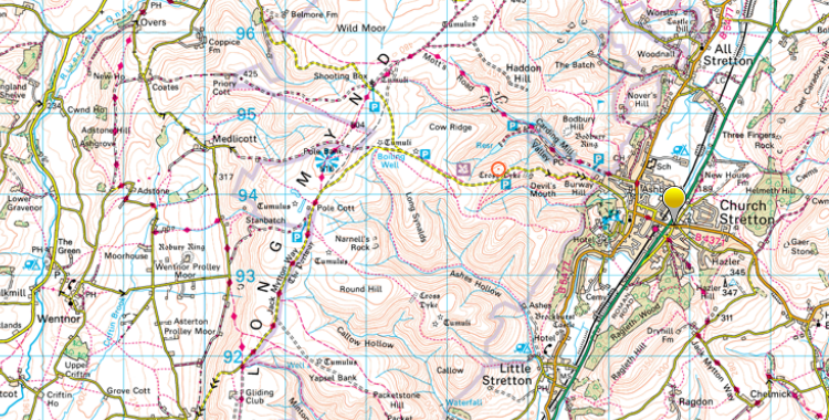
The Long Mynd is a range of hills just west of Church Stretton in the middle of Shropshire. The word Mynd in Welsh means “hill” so you can see we are not far from the Welsh border country or “Marches”.
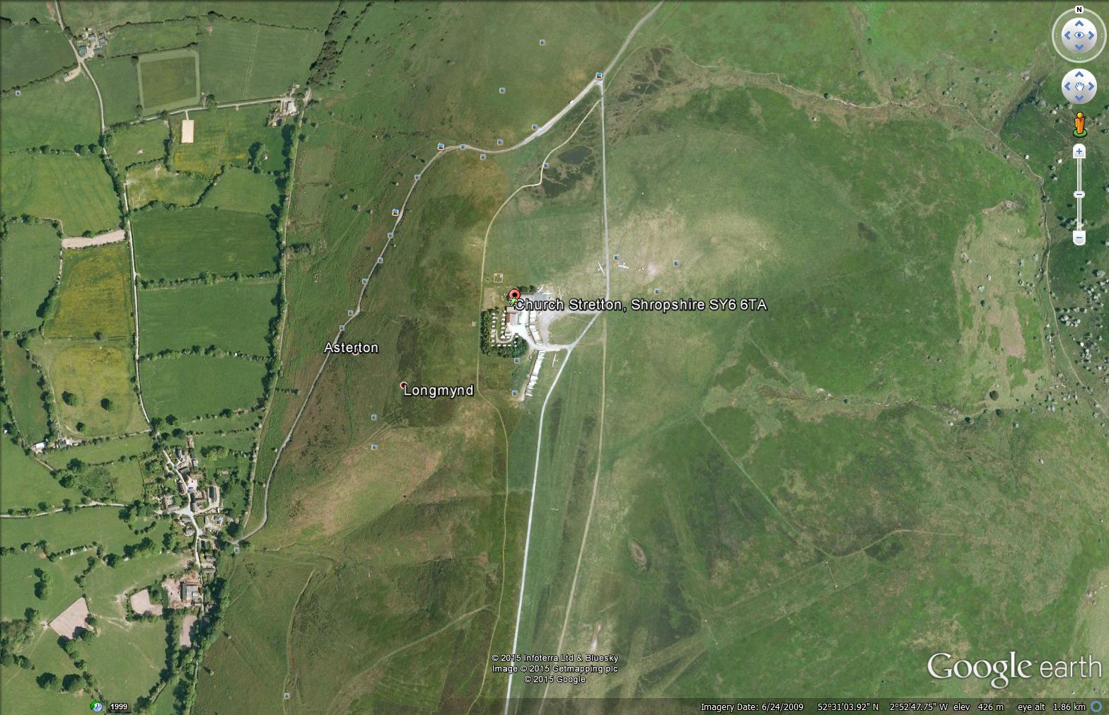
The Mynd is 1500 feet high, so in the winter it can get snowed in and the roads to the club are steep and sometimes very difficult, if not impossible, to negotiate. They are not gritted in winter. However, there are always ways to get here, even if it means leaving a car at the bottom and having a short walk up the hill from Asterton.
We strongly advise calling the club first if there is any concern about the weather to check the road conditions.
Location
Post Code: SY6 6TA
Grid Ref: SO403915
X: 340300m Y: 291500m
Lat: 52:31:07N (52.5186) Lon: 2:52:51W (-2.8808)
What Three Words: sheets.curly.slung
- click here to see where we are within the region.
- click here to see where we are on a local map.
- click here to see location on OS map.
- click here to see our location from the air (north of Shobdon airfield and south east of Welshpool airfield).